
The heart of the platform — control the flow of geotechnical & geoenvironmental data between the office, site and laboratory, produce professional reports, and visualise your data in 2D / 3D.
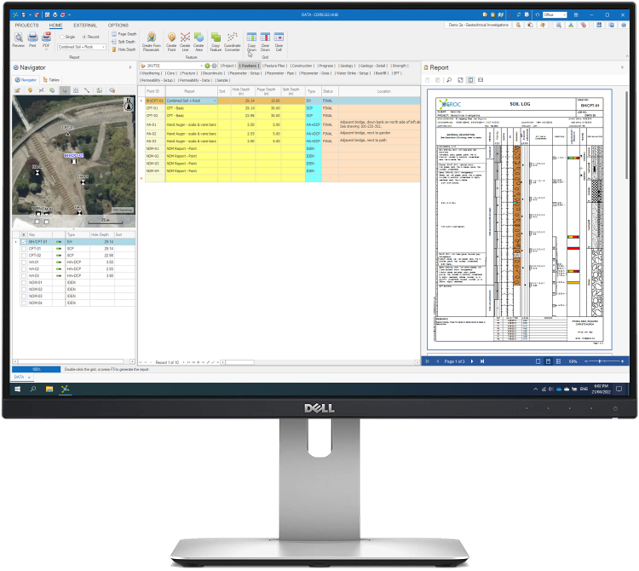
CORE-GS provides the tools to manage data between the office, site and laboratories, centralised in Microsoft SQL Server®, simplify and reuse data across projects.
CORE-GS provides in-built tools to enter data faster and more accurately, including:
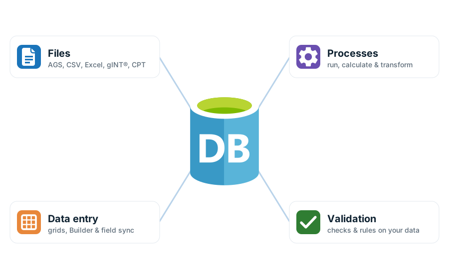
Our extensive import/export system supports the industry-standard formats you already work with, and lets you run processes directly on your data.
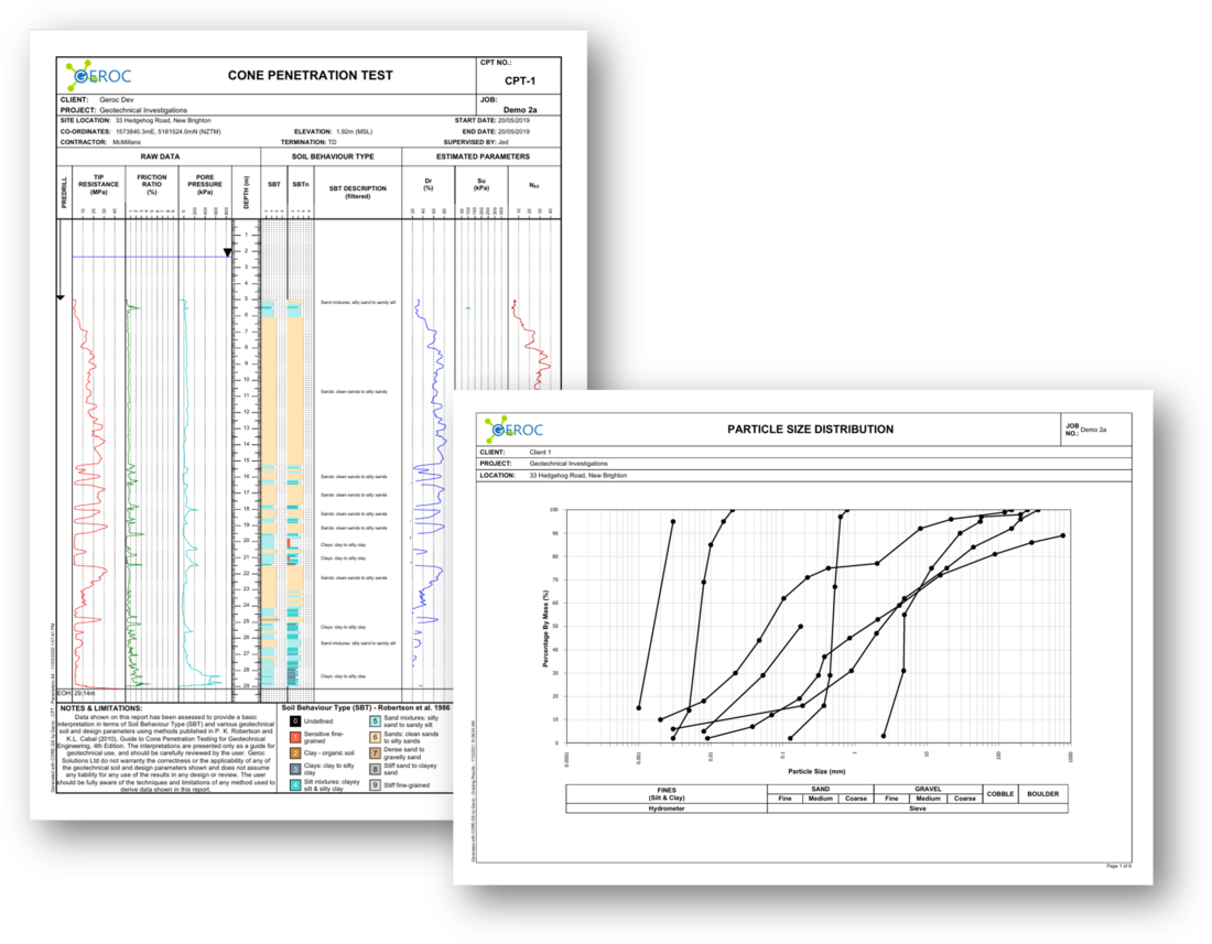
CORE-GS ships with a range of standard report templates covering the main areas of investigation in New Zealand and Australia. If those aren’t quite what you need, we build customised reports — unique header and footer layouts with your company’s logo, tailored data presentation and varied graphical elements.
With years of report-design experience and in-depth knowledge of the reporting system, we can quickly build specialist reports to simplify your reporting. Template design and customisation is a service we quote and charge hourly — we’ll agree the scope and cost with you first.
Prefer to create reports in-house? Book a report design training session with one of our support team.
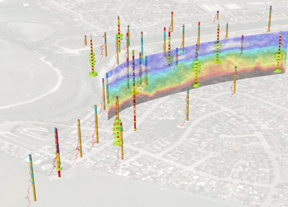
Standard lets you create single-page 2D plans and sections from your data — geology only. Professional adds everything in Standard, plus stored procedures, multi-page 2D drawings and full plan, model and section generation with 3D visualisation and site characterisation. Compare the editions below
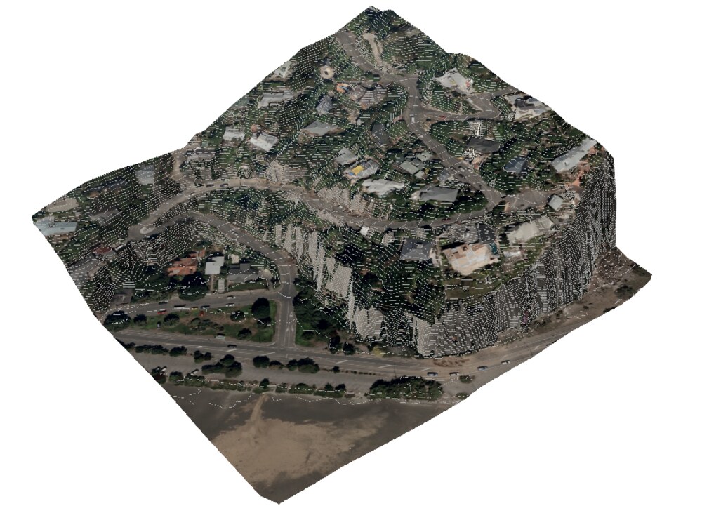
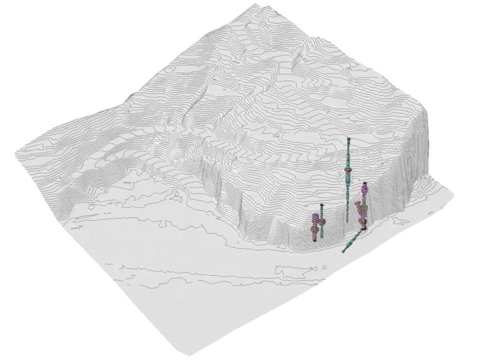
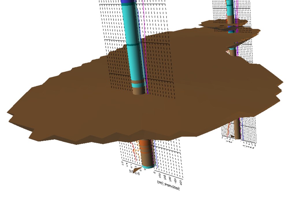
CORE-GS HUB comes in two editions, licensed separately. Standard covers the day-to-day; Professional adds stored procedures and the full visualisation toolset described above.
Data, reporting and geology drawings.
Everything in Standard, plus stored procedures and full 3D.
Both editions are licensed as machine or floating licences, on an annual subscription. How licensing works
Book a demo and we’ll walk through managing data, reporting and visualisation with your workflow in mind.